
UNDERGROUND UTILITY SURVEYING
Discover Our Expertise
PAS 128 TYPE A - VERIFICATION SURVEY
A verification survey is the most precise of all the underground surveys and will allow you to confirm the exact location of any utilities.
Our experienced Underground Survey team will agree with you where to expose any utilities based on previous surveys. We will then discuss with you the techniques of verification and then excavate the utilities. The data that is revealed will be plotted and marked up on a new plan/model. This survey will prove the location of certain utilities, which could save you a lot of time and money.
PAS 128 TYPE B - DETECTION SURVEY
For more detailed information about your site, you would need to undertake a detection survey or ground penetrating survey (GPR). Atlantic Geomatics uses the latest technology, such as RD8000 tracing equipment and the IDS Detector Duo Ground Penetrating Radar (GPR), to locate utilities such as pipes, drainage systems and electricity cables.
Atlantic Geomatics will work with you to agree on the best detection method for your site. We will then undertake the detection survey and mark out the survey area where required. The positioning of any utilities is marked on the ground surface to represent the direction and depth.


PAS 128 TYPE C - SITE RECONNAISSANCE SURVEY
Once a desktop utility records search is completed, Atlantic Geomatics can undertake an on-site inspection to identify physical features that validate the existence of utilities within the survey area. We will assess if there are any conflicts that need to be resolved as well as notify where there may be need for additional surveying. We will then mark up and annotate any current plans and create an up to date model.
A site reconnaissance can give details on the following:
-
Slopes and mounds
-
Ground water/surface water
-
Site access
-
Existing structures
-
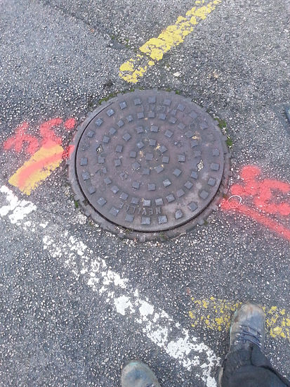
Manholes and inspection chambers